
Bikepacking: Bitterroot 300K, ID
~~(June 2026)~~
Two years ago, a couple of friends and I thought we'd give bikepacking a try. We planned a backcountry route in the Idaho panhandle. Long story short, we bounced off it on the first day due to inadequate equipment and fitness. We bailed and had a good few days of touring on the well-paved Trail of the Coeur d'Alenes instead.
One of those friends and I later planned a modest route that combined parts of that paved tour with some off-road sections. The planned loop is loosely based on the Bitterroot 300K route. Cutting the run to Plummer, ID due to a trail closure from a recent fire, our loop ended up being 174 miles with 7,400 feet of elevation.
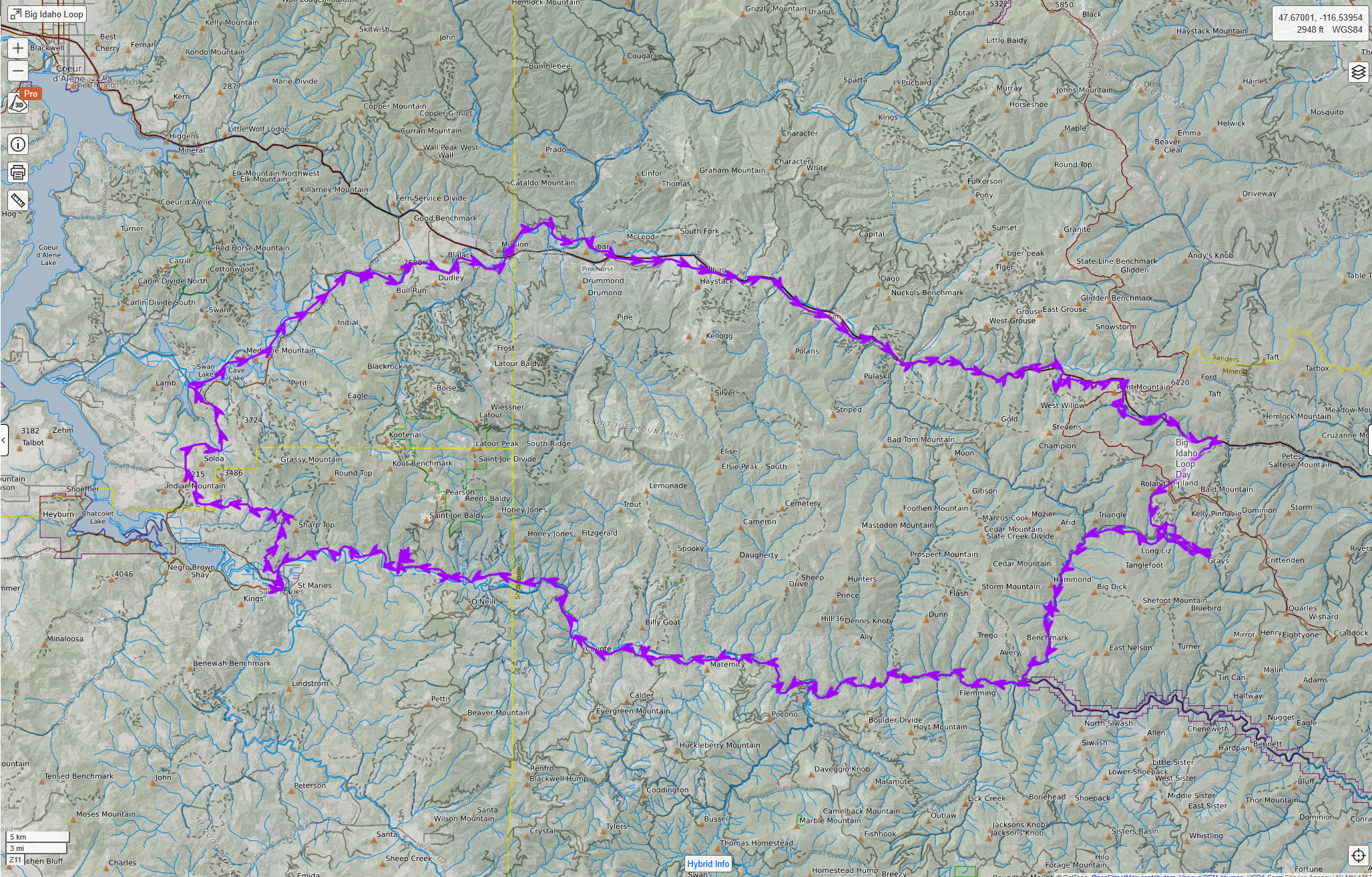
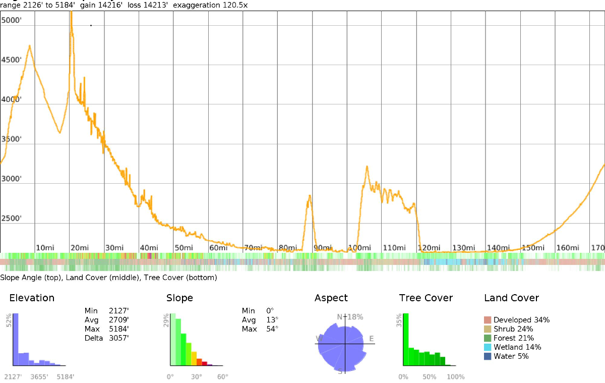
Day 1
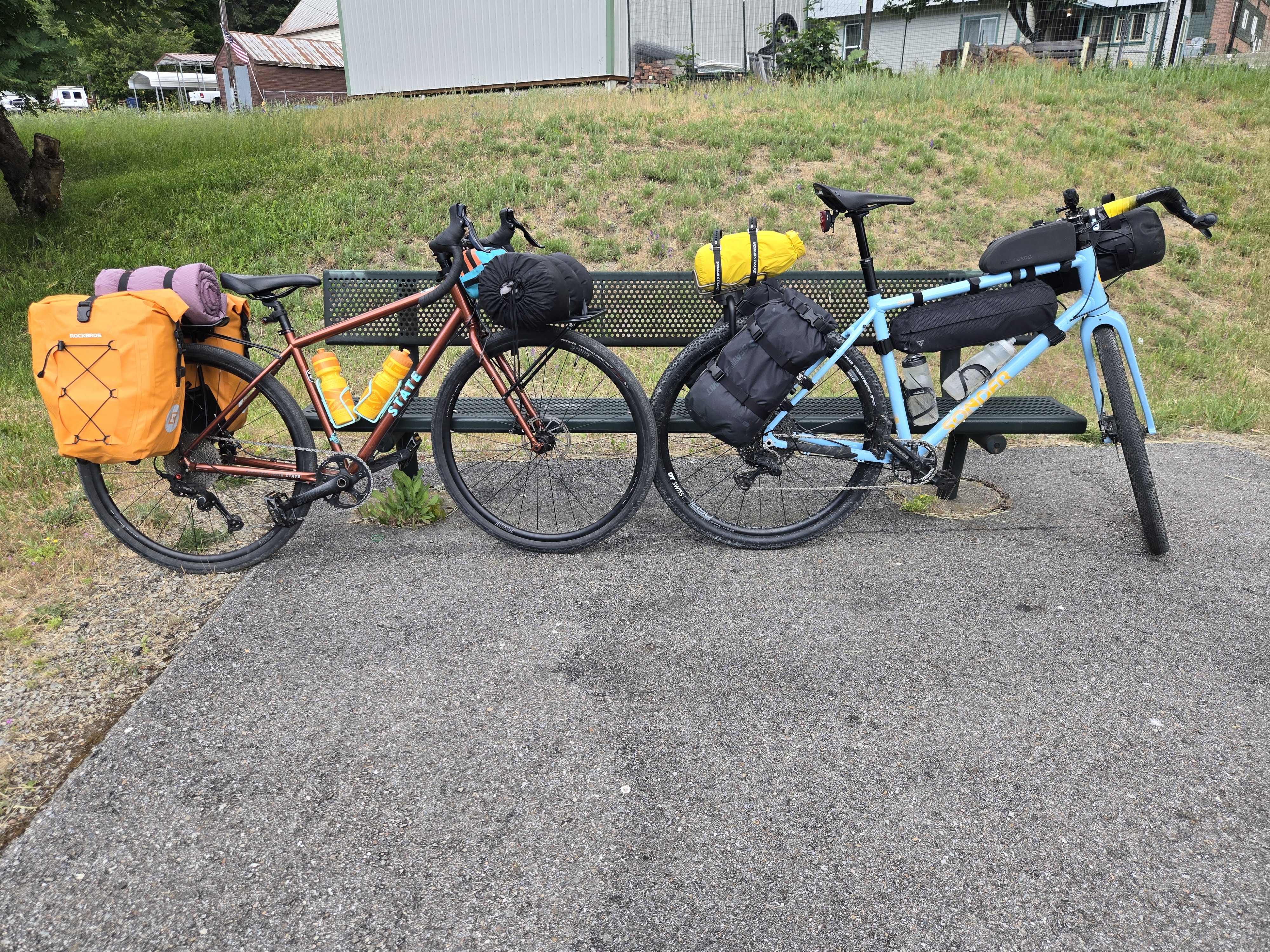
Bikes loaded up, we started in the small town of Mullan. The goal of the first day was to climb up the forest road to Lookout Pass, descend the Trail of the Hiawatha, and camp somewhere near the St. Joe River.
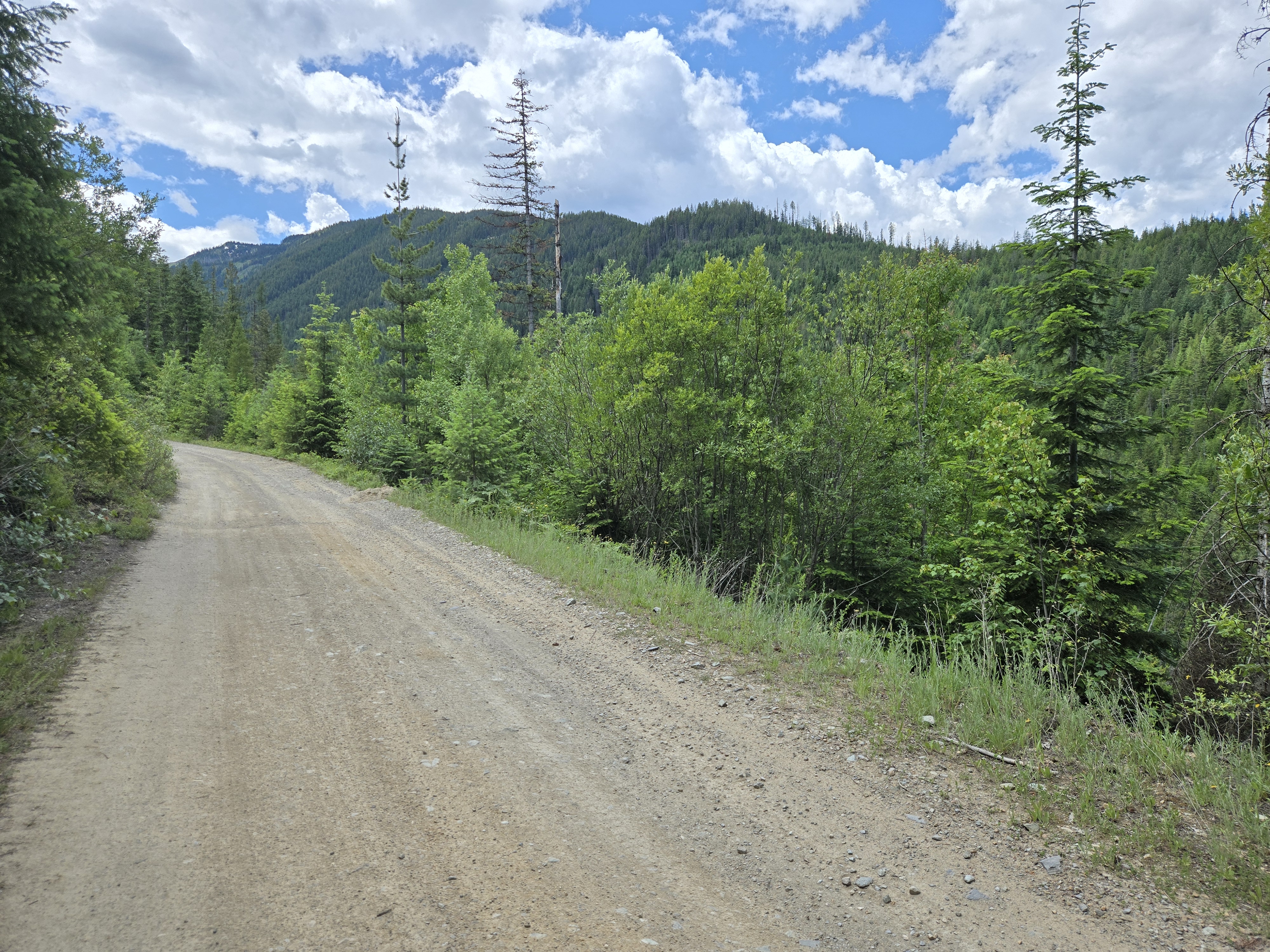
The Trail of the Hiawatha was the crown jewel of the entire tour. It is a rail trail built on a former Pacific extension of the Milwaukee Road railroad, constructed between 1906 and 1911 to connect Chicago directly to Seattle and Tacoma. The Milwaukee Road declared bankruptcy and fully abandoned its Pacific Extension in 1980, and the old railroad grade was converted to a gravel bike trail by 1998. We came to the east portal of the trail from the opposite side from the shuttle and trailhead.
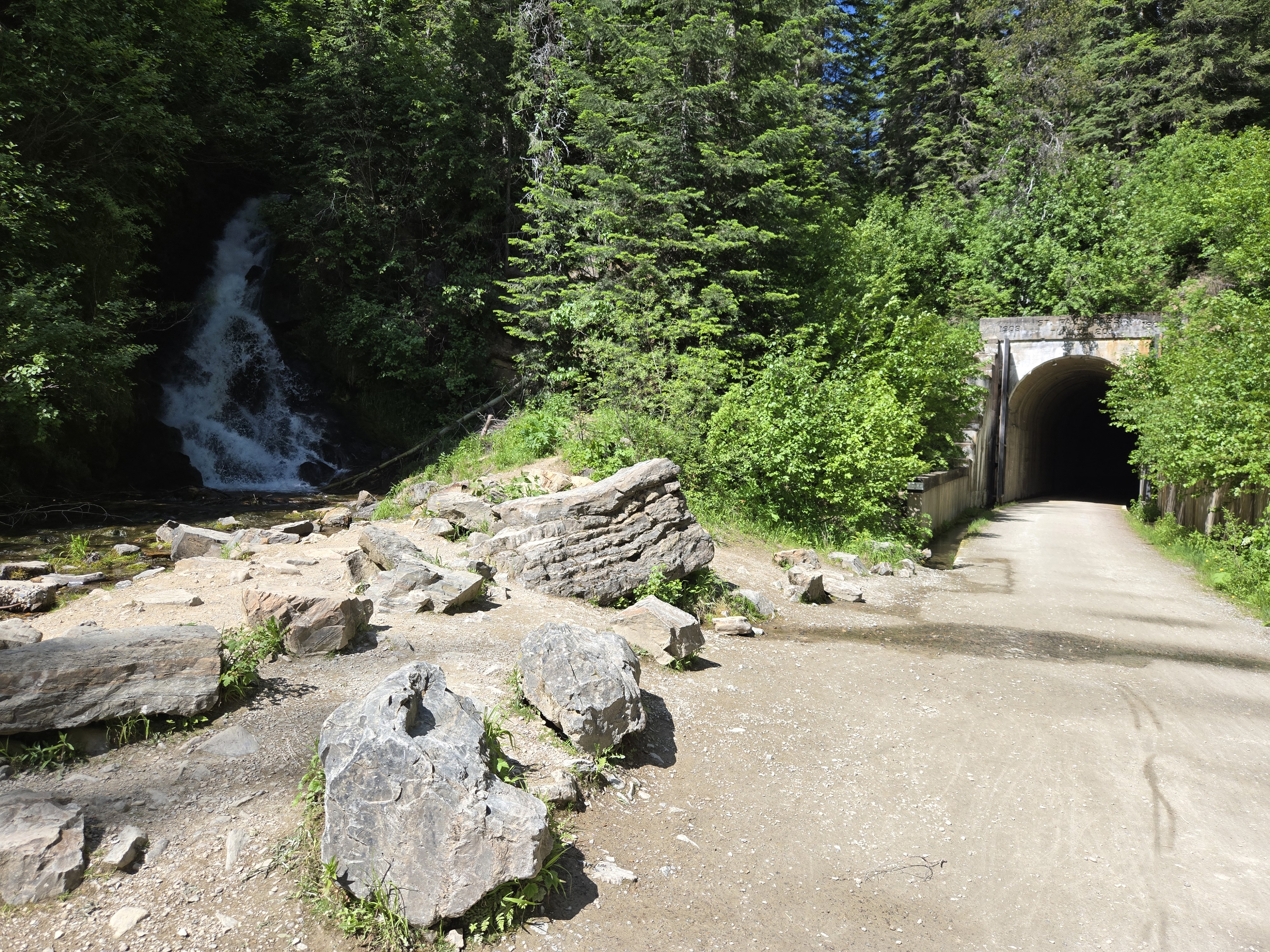
The first feature of the trail is a tunnel over two miles long. In the middle of summer, the temperature inside remains near 40°F and water rains from the ceiling. As you enter, the far end appears as a pinprick of light that doesn't seem to get any closer. It's a bizarre experience.
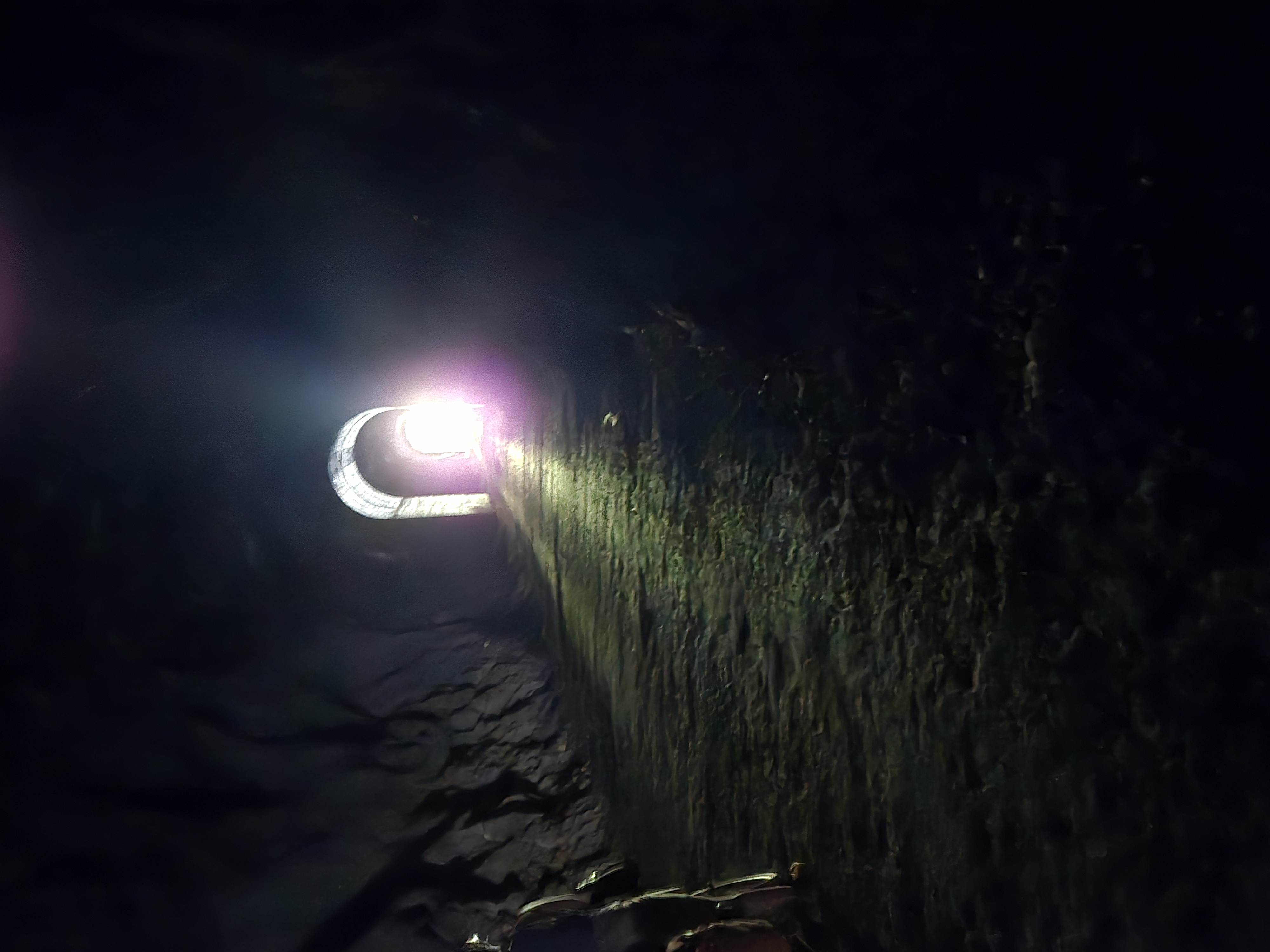
Emerging from the tunnel, the remaining 13 miles contain nine shorter tunnels and seven steel trestle bridges. Literally every overlook is beautiful. The whole area is blanketed by trees, but it was all destroyed by the Great Fire of 1910. Combined with logging, this means all the forests in the area are relatively young.
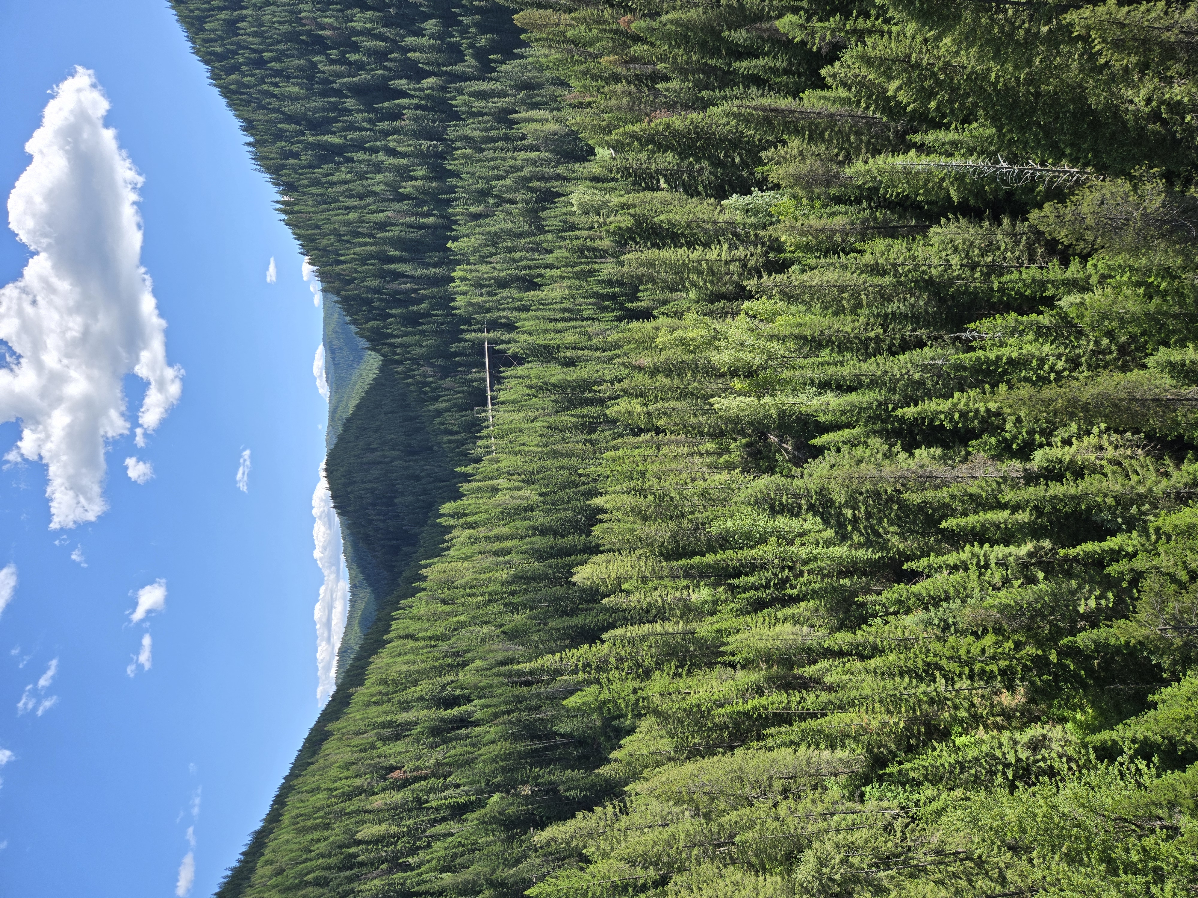
We managed to start our ride after the last shuttle of the day, so we pretty much had the trail to ourselves and saw loads of deer and other wildlife. The trail spits you out into St. Joe's Valley. Still on the old railroad grade, the route descends into the valley and down to the river. We found a campsite about 15 yards from the water.
Day 2
The second day started with an unrideable climb up from the river's edge. A few miles down the road is Avery, a tiny town of just a few buildings. We refilled water and pressed on along St. Joe River Road. The high speed limit pushed us onto the gravel path on the south side of the river, which follows the original river road. Eventually the gravel ran out and we were back on the busier paved road. This was mostly fine. Logging trucks passing close can be a tad nerve-wracking, but they smell amazing.
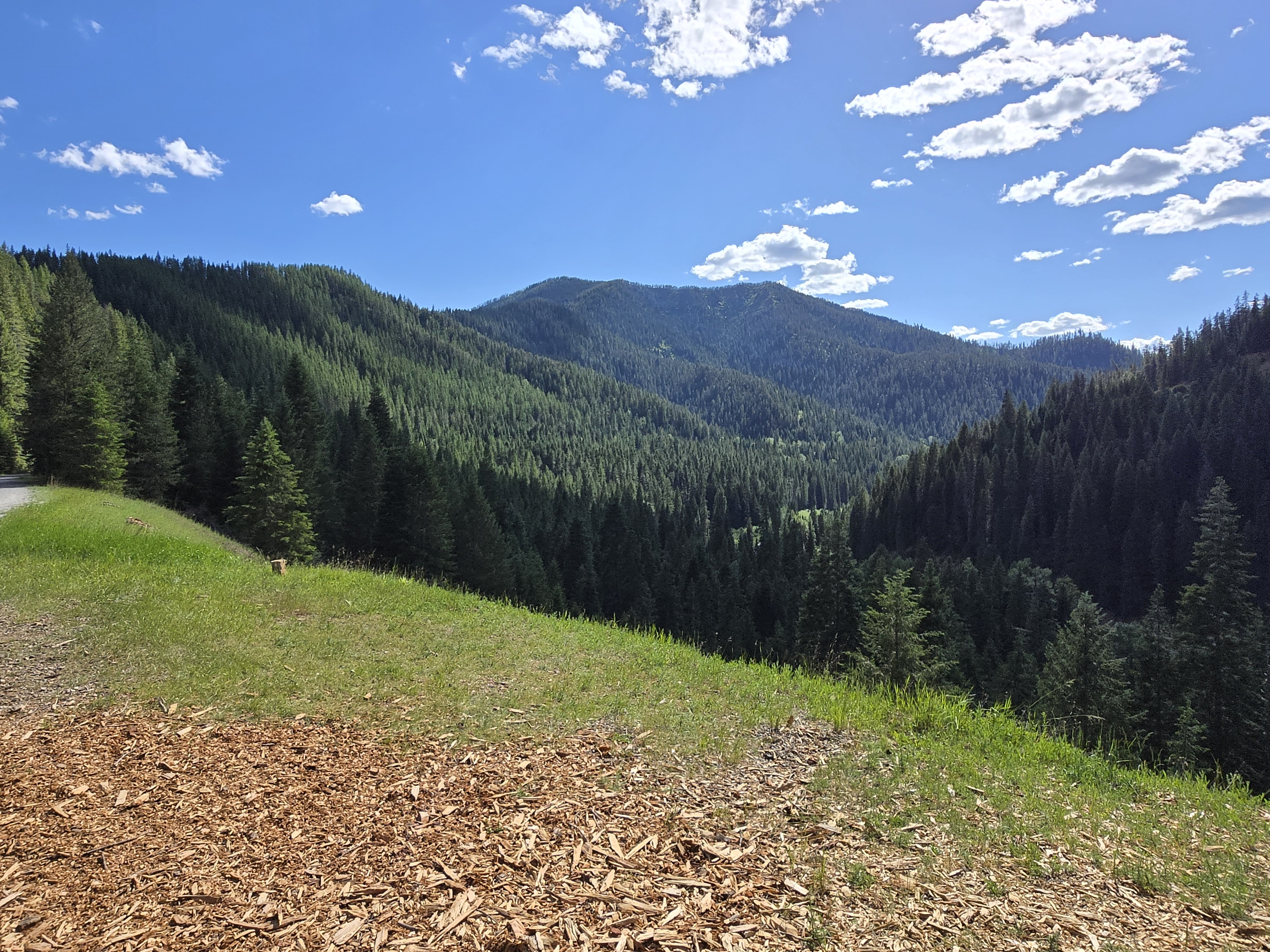
There are very few towns along the road, but we managed to refill water in Calder (pop. ~150). The rest of the day was largely uneventful. We stopped to rest at a national forest campground but pressed on to get a bit more mileage in. We eventually found our way up an old forest road and camped for the night. Climbing at least 700 feet and two miles into the woods, we saw a moose with two calves and were nearly drained by mosquitoes. This is also where I discovered that DEET-based bug spray will melt the foam in bike helmets. Unfortunate.
Day 3
Given our clandestine camping spot, we got an early start and continued down St. Joe River Road to
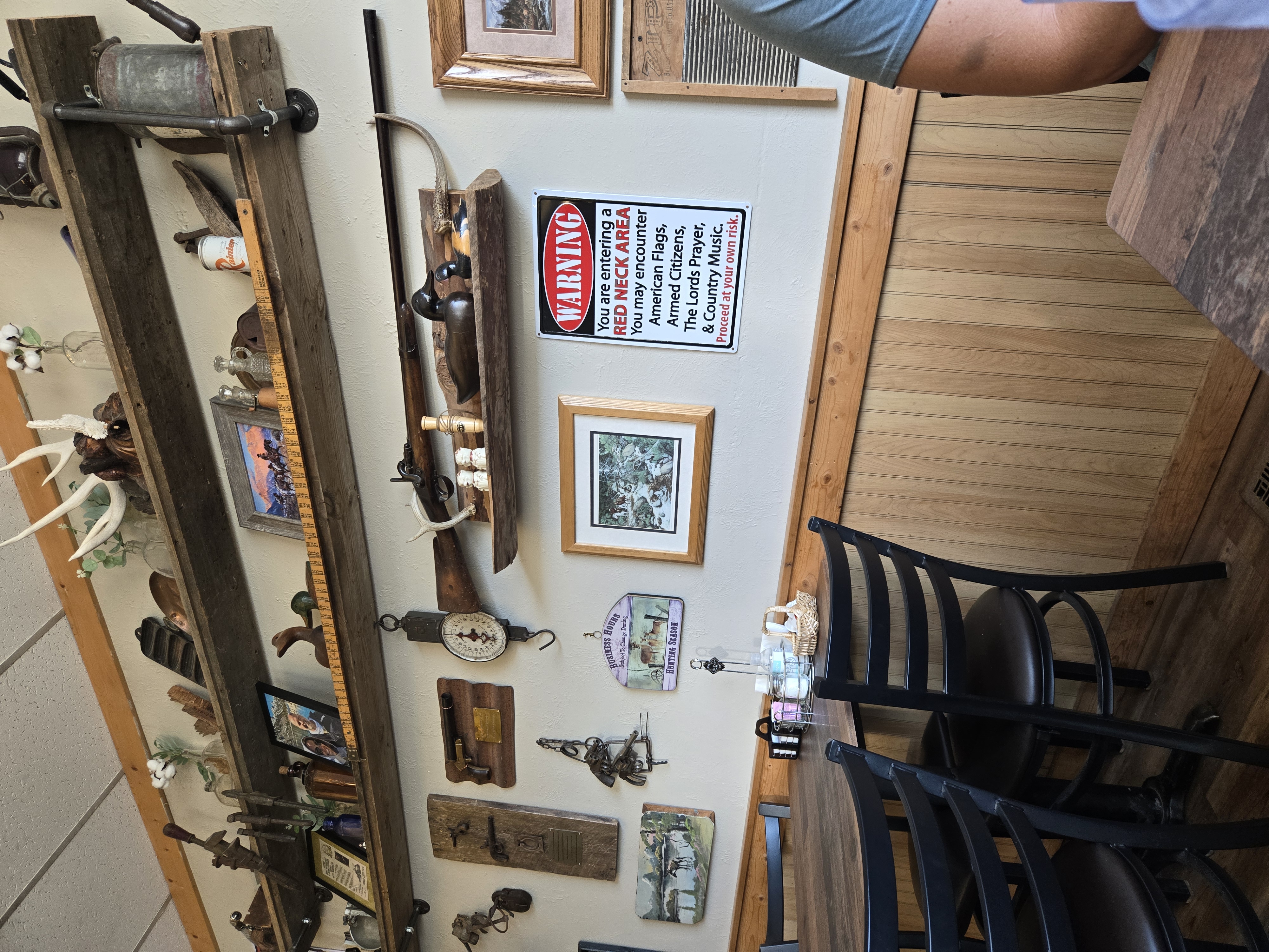
St. Maries, a proper town of 2,300 people. We grabbed breakfast at the most Idaho restaurant possible and
resupplied.
 I picked up a Thermacell, hoping to fend off the
mosquitoes that evening. From there we backtracked to a gravel road that would take us back over the
Bitterroot Mountains.
I picked up a Thermacell, hoping to fend off the
mosquitoes that evening. From there we backtracked to a gravel road that would take us back over the
Bitterroot Mountains.
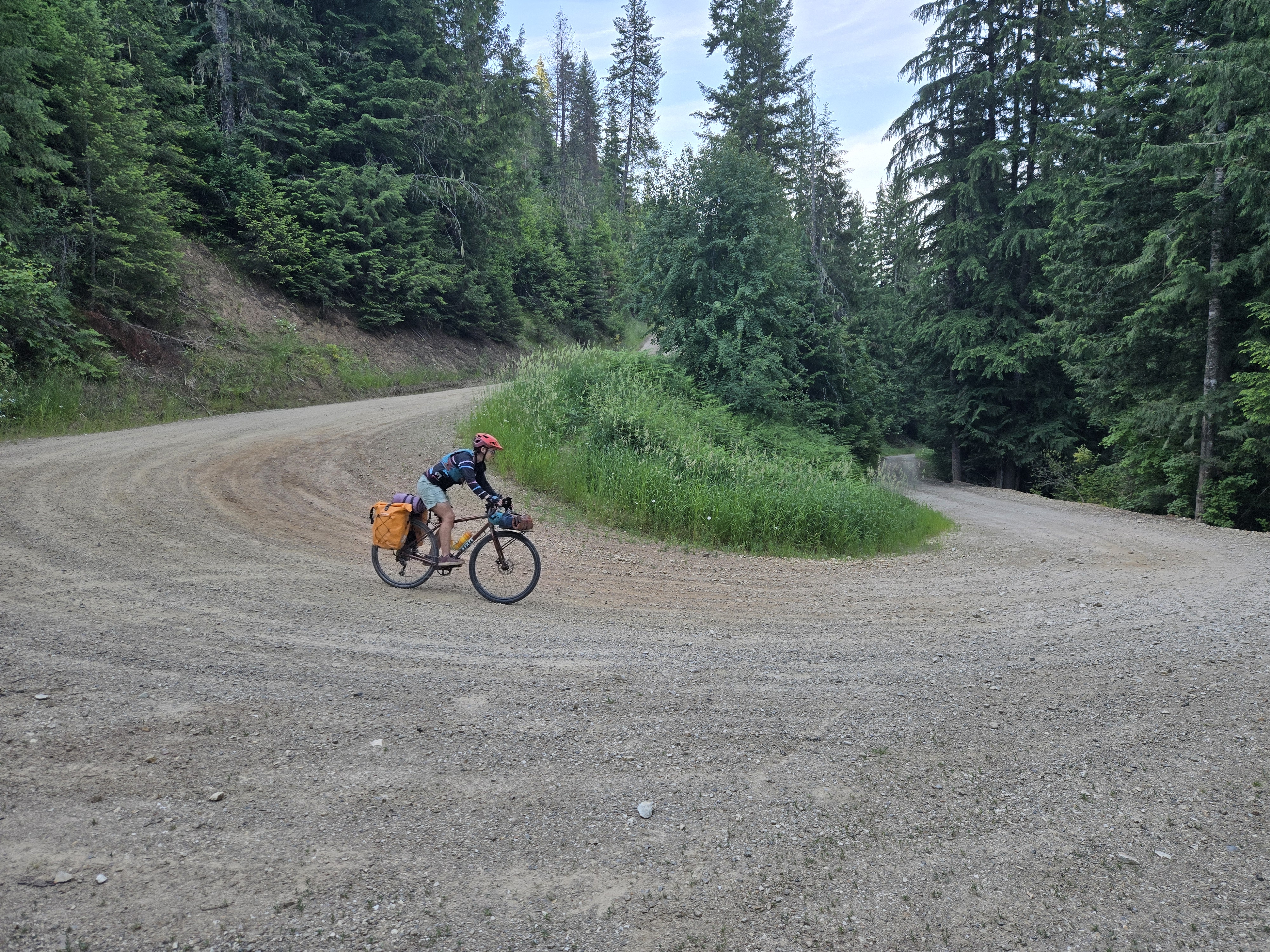
One section of the gravel road was being graded with moist gravel piled in a large row down the middle. We rounded a curve and came upon what can only be described as a junkyard, guarded by three furious dogs. They launched themselves at the main gate, which was thankfully closed — until both we and the dogs quickly discovered that a side gate had been left open. They chased us for what felt like at least 100 yards before giving up. As soon as it was safe, we took a long breather. While our heart rates settled, the grader came by and smoothed out the mounded row of sloppy gravel. Terrible stuff to ride on, and we walked our bikes through the next half mile.
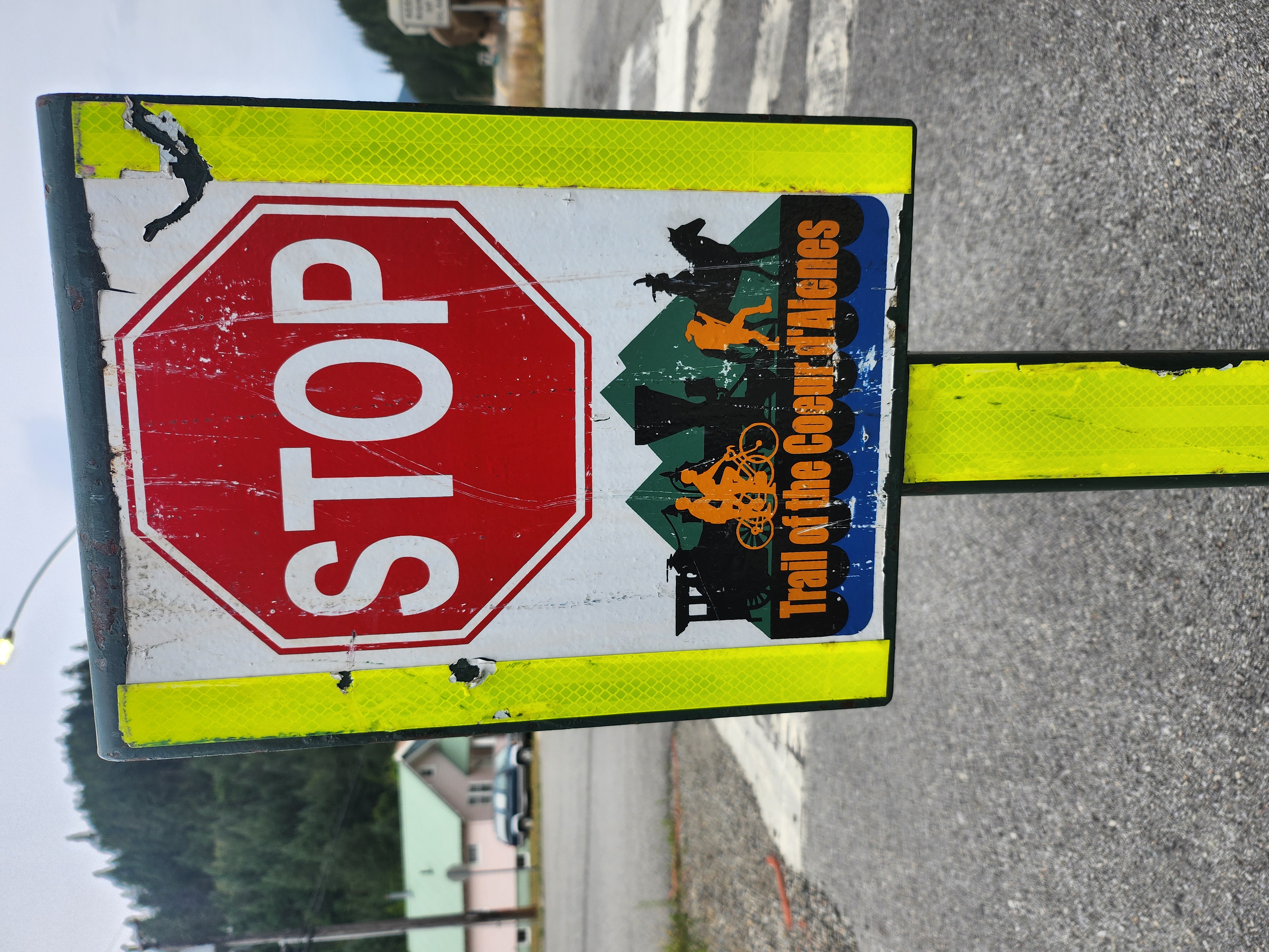
Eventually we emerged from the mountains and made our way back to the Trail of the Coeur d'Alenes, meaning our time on gravel was, thankfully, complete. We took a dip in the river near Rose Lake and crashed for the night at the Bull Run Lake Access Area.The Thermacell did some work that evening.
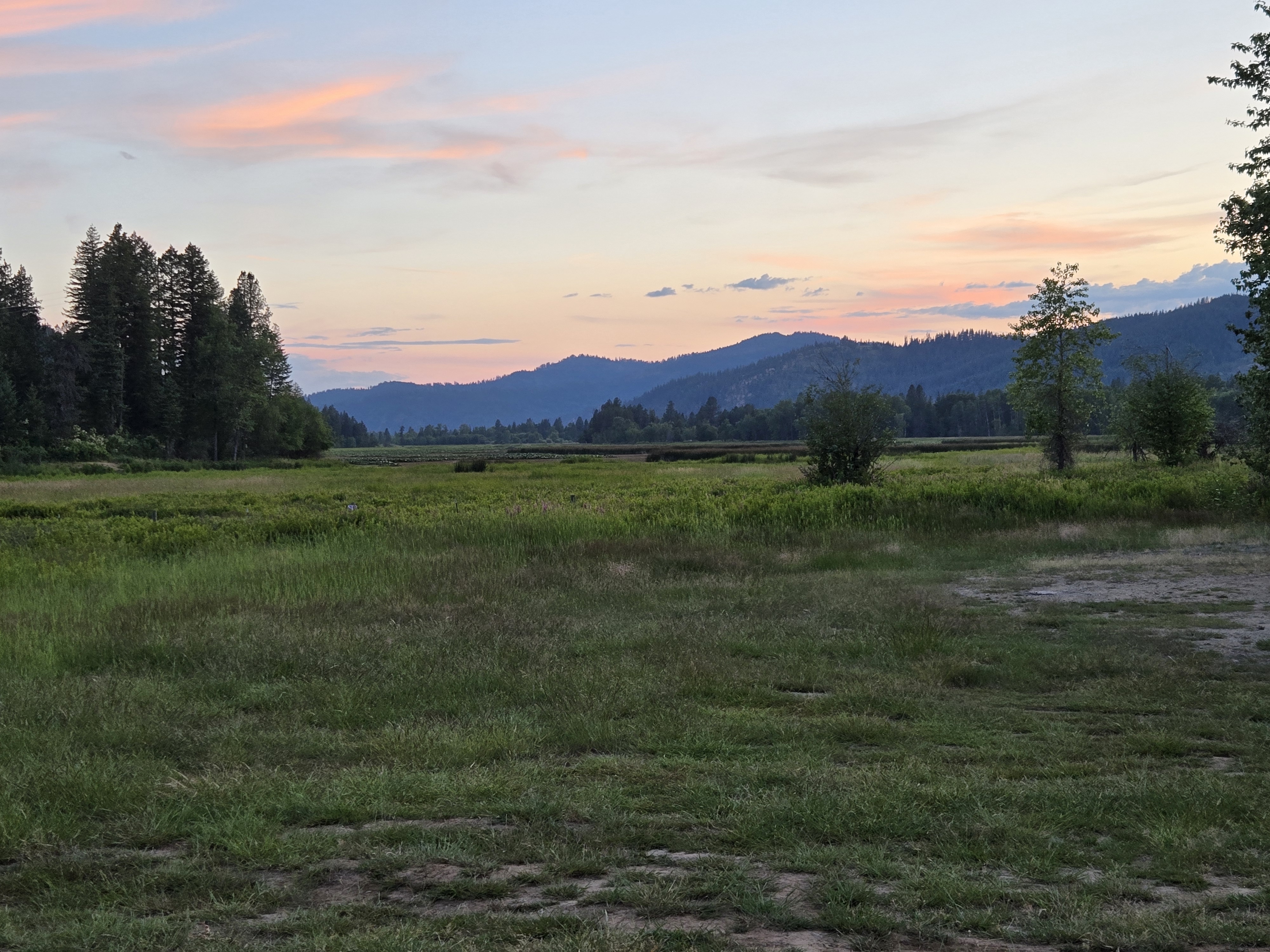
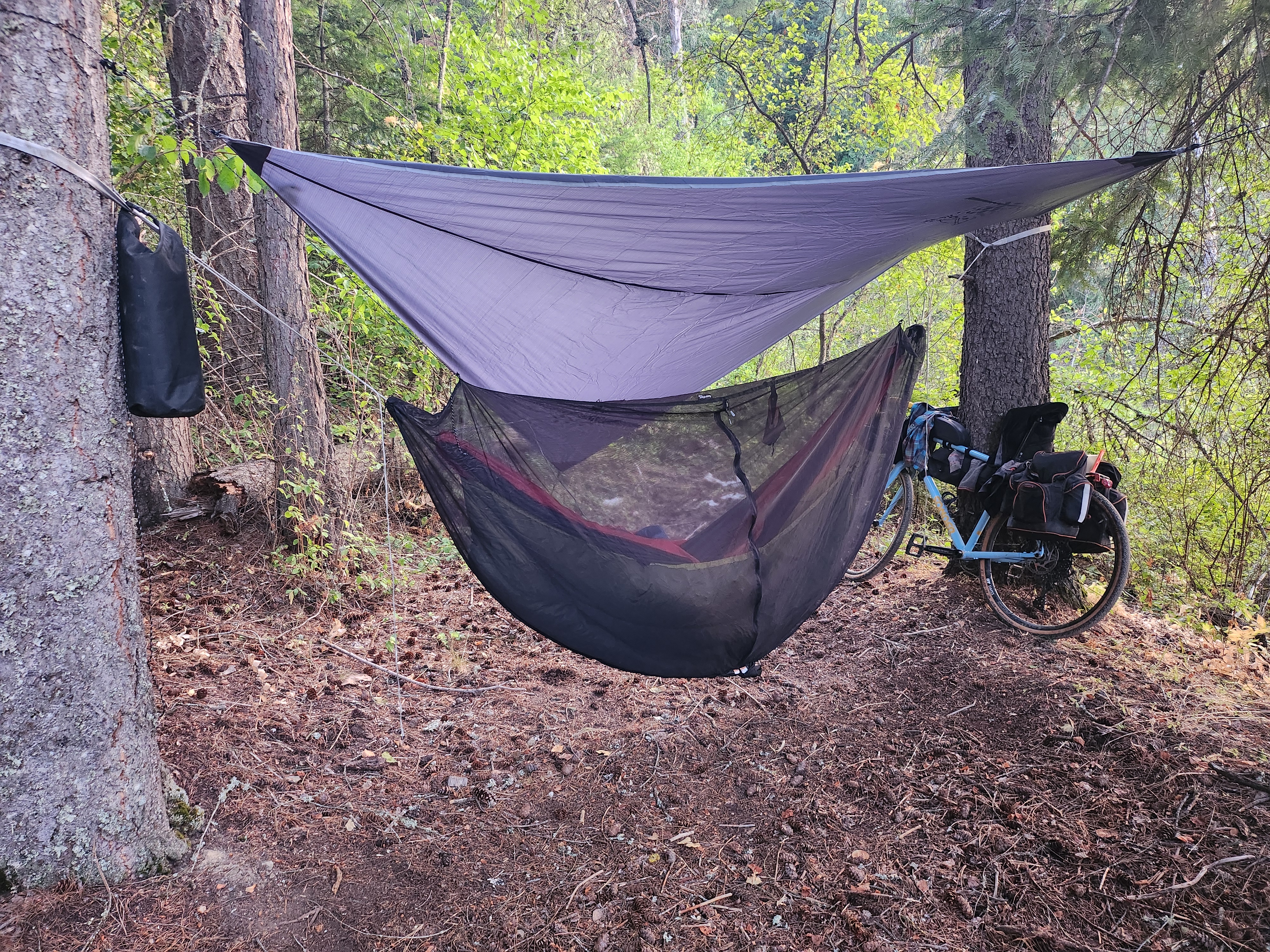
The campsite sat on an isthmus with some trees and an open area. I slept in a hammock all trip, once
I'm in there I'm dead to the world, earplugs in and a beanie pulled over my eyes.
This meant I was blissfully unaware of the evening's goings-on.
 Apparently a couple of moose were having a grand old time
in the marshy lake just 15 to 20 yards from camp. I woke up to find my friend's tent dragged right next
to my hammock. I don't blame her. Moose are friggin scary.
Apparently a couple of moose were having a grand old time
in the marshy lake just 15 to 20 yards from camp. I woke up to find my friend's tent dragged right next
to my hammock. I don't blame her. Moose are friggin scary.
Day 4
The last day was a bit of an anticlimactic slog. Legs and lungs were fine, but the sit bones were completely done. We pushed on along the paved trail back through Cataldo, Kingston, Wallace, and all the way to Mullan. Thankfully, the car had not been towed.
This was the most ambitious tour I had done to this point in terms of terrain and mileage. We managed 40 to 50 miles each day, which I was pretty happy with. Certainly willing to push into a harder tour next year!